🔥Western Europe's Summer Heatwaves Seen From Space
Europe's rivers are at their lowest in decades
TL;DR
Western Europe experienced its hottest June-to-July period on record, leading to unprecedented low river levels and glacier retreat. Satellite images reveal scorched earth and receding glaciers.
Satellite imagery shows Western Europe's rivers at their lowest levels in decades as the region faced extreme heatwaves since May. The Danube River is particularly affected, with waters dropping to a 30-year low. This summer was confirmed by Copernicus as the hottest June-to-July period on record for the area. Nuclear power stations and river transport are impacted, highlighting the immediate effects of climate change.
Key Points
The Danube River has reached its lowest levels in 30 years, impacting water-based industries and transport.
Western Europe experienced the hottest June-to-July period on record, with temperatures soaring due to persistent high-pressure systems.
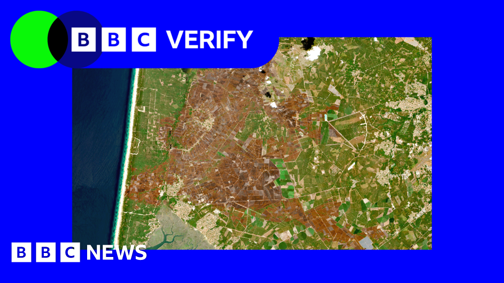
More than 90,000 hectares of land have burned in France this summer, marking the worst year for wildfires.
Satellite imagery shows Rhône Glacier retreated by over 50m since last year, accelerating melting from low snow cover and heatwaves.
Soil moisture levels are at their lowest on record in severely affected areas, with NDVI readings below five-year benchmarks across much of France.
Why It Matters
If you're managing water resources or relying on river transport for logistics, this summer's extreme conditions could disrupt your operations. Lower river levels affect shipping and cooling systems, while wildfires and glacier retreat highlight long-term climate impacts.
Frequently Asked Questions
Why does this matter?
If you're managing water resources or relying on river transport for logistics, this summer's extreme conditions could disrupt your operations. Lower river levels affect shipping and cooling systems, while wildfires and glacier retreat highlight long-term climate impacts.
What happened?
Western Europe experienced its hottest June-to-July period on record, leading to unprecedented low river levels and glacier retreat. Satellite images reveal scorched earth and receding glaciers.
Comments
Be the first to comment
Enjoyed this article?
Get it daily. 7am. Free. Reads in 5 minutes.
Join 3,303 builders reading daily.