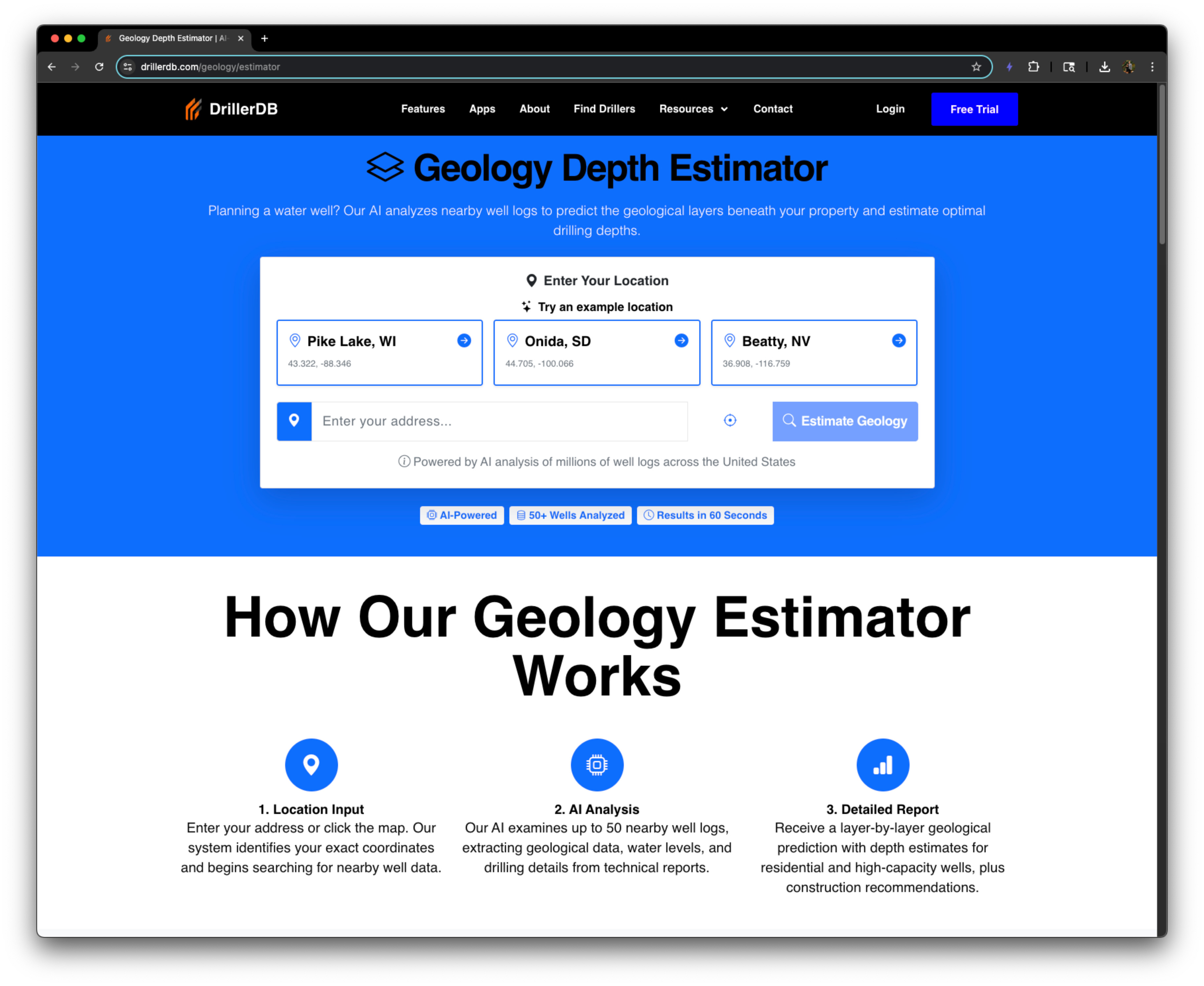

DrillerDB Geology Estimator
What is DrillerDB Geology Estimator?
AI-powered well depth predictions based on nearby well logs. Free tool for homeowners and drillers planning water wells.
DrillerDB Geology Estimator is an AI-powered tool that predicts geological layers and optimal well depths using nearby well logs. It analyzes up to 50 nearby wells to generate a comprehensive geology report, including layer analysis, depth estimates, drilling insights, and confidence ratings. Designed for homeowners, drillers, and professionals planning water wells, it helps save costs and prevent project failures by understanding subsurface conditions before drilling.
Key Features
Use Cases
Frequently asked questions
- What is DrillerDB Geology Estimator used for?
- DrillerDB Geology Estimator is used for Homeowners planning a new water well can enter their location to get predicted geological layers and recommended drilling depth, avoiding costly surprises during construction.; Well drillers use the estimator to quickly assess subsurface conditions for a client's property, enabling accurate quotes and efficient drilling plans.; Farmers and ranchers evaluating irrigation well sites rely on the tool to estimate high-capacity well depths and water availability, supporting informed investment decisions.; Real estate developers assessing land for new subdivisions use the geology report to understand water access and drilling feasibility, influencing property valuation.; Environmental consultants conducting site assessments leverage the AI predictions to identify potential aquifer zones and contamination risks before field work..
- What are alternatives to DrillerDB Geology Estimator?
- See the ranked list of DrillerDB Geology Estimator alternatives in the Geology & Well Planning category on ContentBuffer.
Opens in a new tab on DrillerDB Geology Estimator website.
Comments
Be the first to comment
Discover more AI tools like this
Get the best AI tools, news, and resources delivered weekly.
Join 3,568 builders reading daily.